-

ایران سقوط کرد!
همین الان که داری این ویدیو رو میبینی، مغزت تحت یک «کودتای دیجیتاله». تا حالا فکر کردی چرا توی خیابون آرامشه، ولی توی اینستاگرامت ایران داره سقوط میکنه؟!
-

جمعیت میلیونی اغتشاشاگران!
تبیانآنلاین با بررسی مستندِ تراکم جمعیت در ویدیوهای منتشر شده از حضور اغتشاشگران، صحتسنجی کرده که ادعای حضور گسترده اغتشاشگران در تجمعات کشور چقدر درست است؟
-
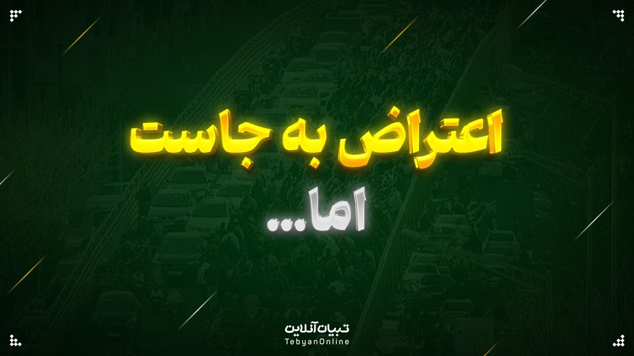
اعتراض به جاست، اما…
بیانات رهبر انقلاب درباره تفاوت میان معترض و اغتشاشگر؛ شنیدن صدای معترض، وظیفه است؛ برخورد با اغتشاشگر، ضرورت.
-
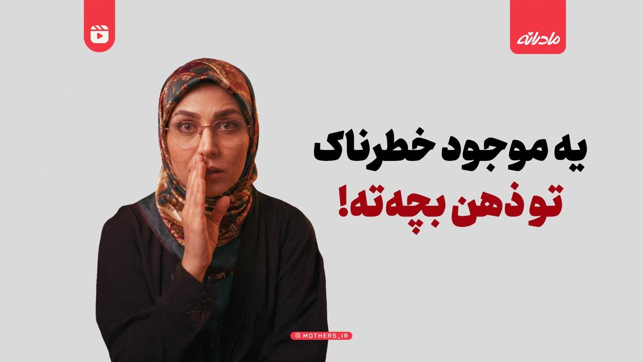
یه موجود خطرناک تو ذهن بچهته!
میدونستی یه موجود خطرناک تو ذهن بچهاته که باهاش حرف میزنه؟
-

والد مضطرب، دانشآموز مضطرب: چطور نگرانی خودمان را به بچه منتقل نکنیم؟
همه ما بهترینها را برای فرزندمان میخواهیم، اما گاهی همین «زیادی خواستن»، تبدیل به سدی در برابر موفقیت آنها میشود. حقیقت این است که پشت هر دانشآموز مضطرب، معمولاً والدینی نگران ایستادهاند.