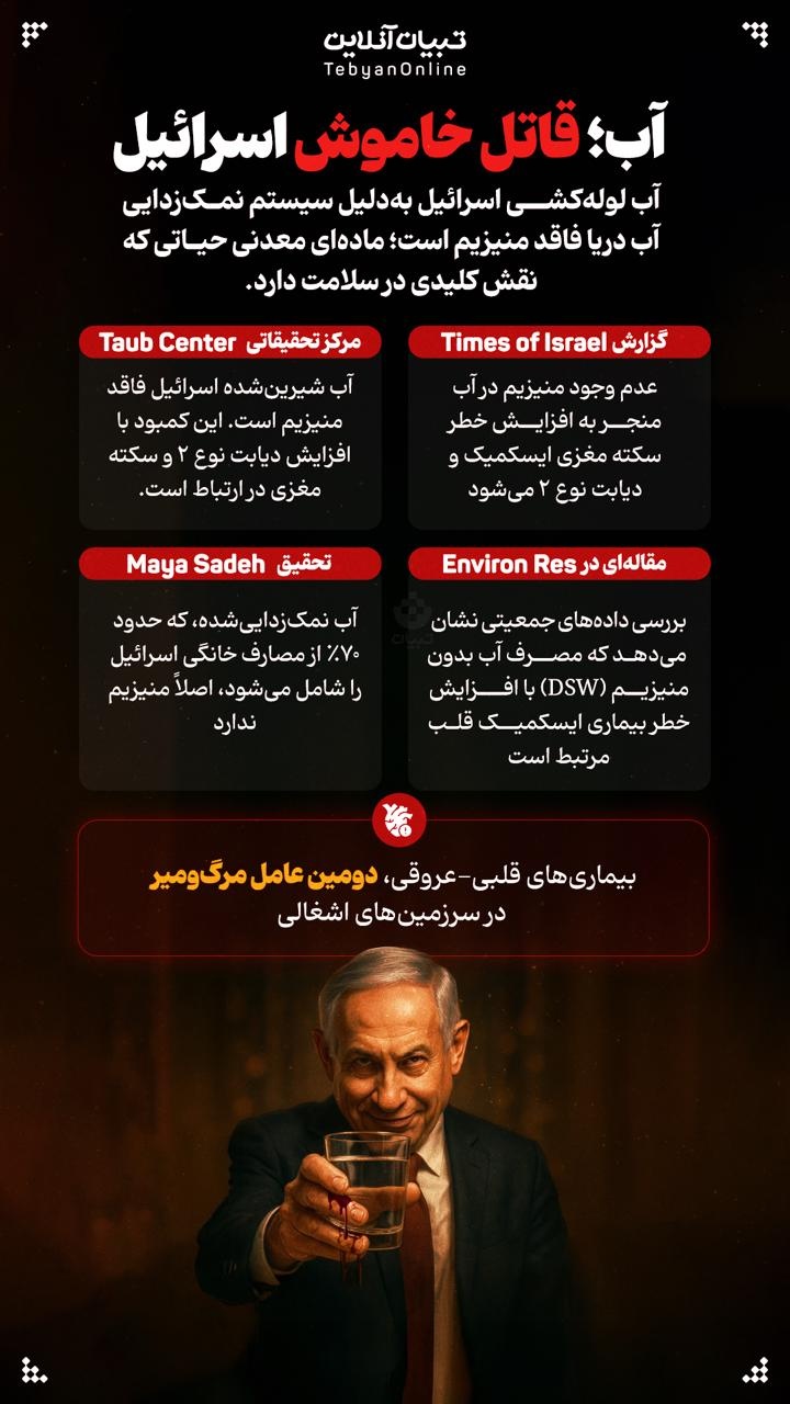
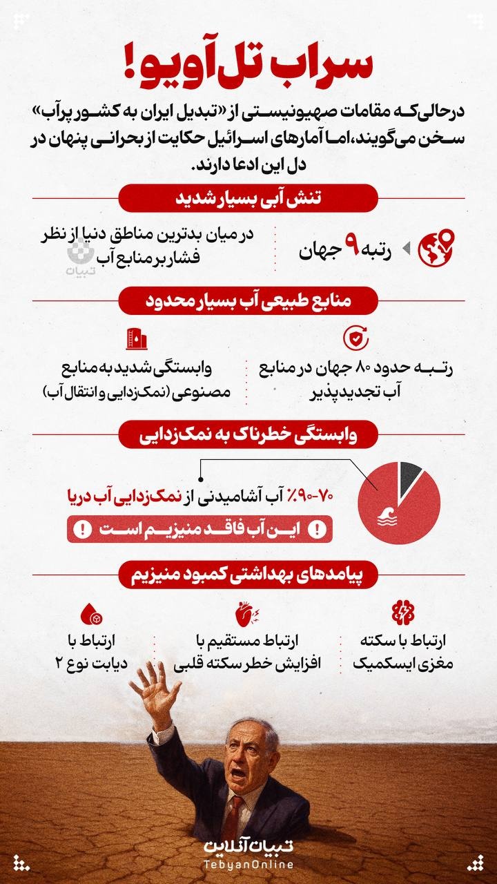
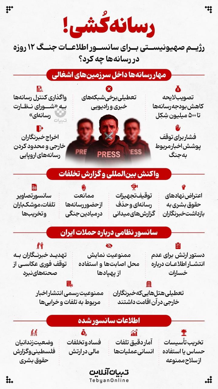
-

آلزایمر قبر!
شما را چه شده که با به دست آوردن اندکی از مال دنیا، خوشحال میشود ولی ازدستدادن بسیاری از آخرت، شما را غصهدار نمیکند!؟ امیرالمومنین علیهالسلام، خطبۀ ۱۱۲
-

دوربین مخفی سقط جنین!
واکنشهای غیرمنتظره مردم به سقط جنین یک زوج در تهران! تصاویری که توی ویدیو هست با رضایت و تایید افراد منتشر شده.
-

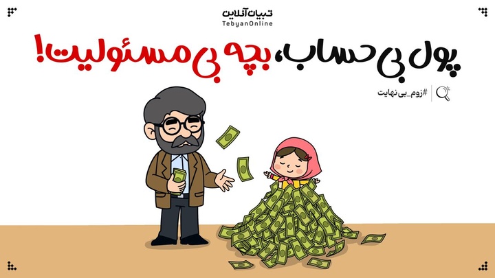
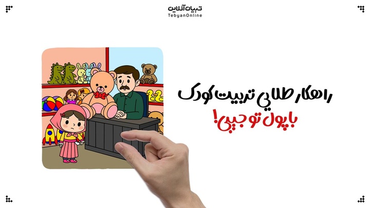
راهکارهایی برای شفافیت مرزهای مالی در ازدواج
بسیاری از اختلافات مالی، بیش از آنکه مربوط به مقدار حقوق و درامد باشد، ریشه در مرزها و حساسیتهایی دارد که ناگفته میماند.
-

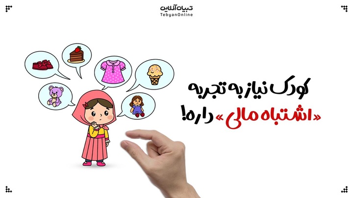
ترند جدید والدگری؛ کافی بودن بهتر از کامل بودن است
والدین امروز زیر فشار تصاویر ایدهآل و توقعات غیرواقعی هستند که گاهی به خستگی و اضطراب منجر میشود. ترند تازه «والدگری به اندازهی کافی خوب» یادآوری میکند برای رشد کودک و سلامت روان والد، نیازی به کامل بودن نیست و تمرکز بر روابط واقعی و پذیرش اشتباهات کافی است.
-

آیا ایران، سرزمین مادری جادوست؟
اخیراً ویدیویی در شبکههای اجتماعی منتشر شده است که که با بهرهگیری از تکنیکهای بصری و روایتی رازآلود، مدعی است ریشه «جادو» به ایران و طبقه «مغان» بازمیگردد. این ویدئو با تلفیق مفاهیم الهیاتی، اسطورهشناسی و وقایع تاریخی، ادعاهایی را مطرح میکند که در نگاه اول جذاب، اما از منظر متون اصیل دینی و تاریخی نیازمند واکاوی دقیق است. در این گزارش، به بررسی صحت و سقم این ادعاها بر اساس قرآن کریم، احادیث شیعی و منابع معتبر میپردازیم.
-

از آسیبهای روتینهای پوستی برای نوجوانها خبر دارید؟
پژوهشها نشان میدهد استفادهٔ فزاینده از روتینهای پیچیدهٔ مراقبت از پوست در میان دختران ۷ تا ۱۸ ساله که تا حد زیادی تحت تأثیر محتوای شبکههای اجتماعی است، میتواند پیامدهای نگرانکنندهای برای سلامت پوست داشته باشد.